The large amount of data coming from the MORSE Project has been used to continuously monitor the estuarine area and as input and validation of numerical models implemented to analyze specific physical phenomena, like river plume evolution and mouth bar behavior. For the modeling activity, we used the Delft3D code produced by Deltares

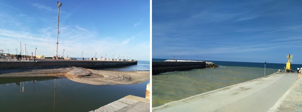
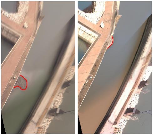
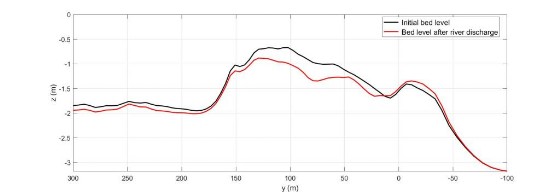
In recent years, the reduced precipitation and river discharges, not sufficient to expel the sediment out of the mouth, and accumulation of sand due to wave action, have led to a persistent accumulation of sediment at the Misa River mouth and to the emergence of an inner bar. Images acquired by the SGS cameras have been used to monitor the bar behavior. The evolution of the emerged mouth bar was put in relation to both the river and sea forces. We used numerical simulations to separately study the role of the different forcing and to simulate real-life events (Baldoni et al., 2021).

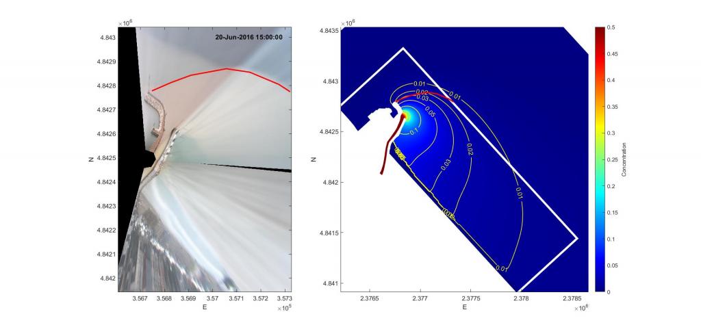
Despite the moderate discharge, the Misa River estuary is characterized by large sediment transport rates and important plume events. We used the images collected from the SGS station to identify the frequency and duration of the events and to evaluate the offshore extension and the direction of the plume front. The numerical simulations have been used to distinguish the effects of different forcing and to analyze the distribution of the sediment concentration. This analysis allowed us to identify plume generation and transport mechanisms.


